2006 / 2012
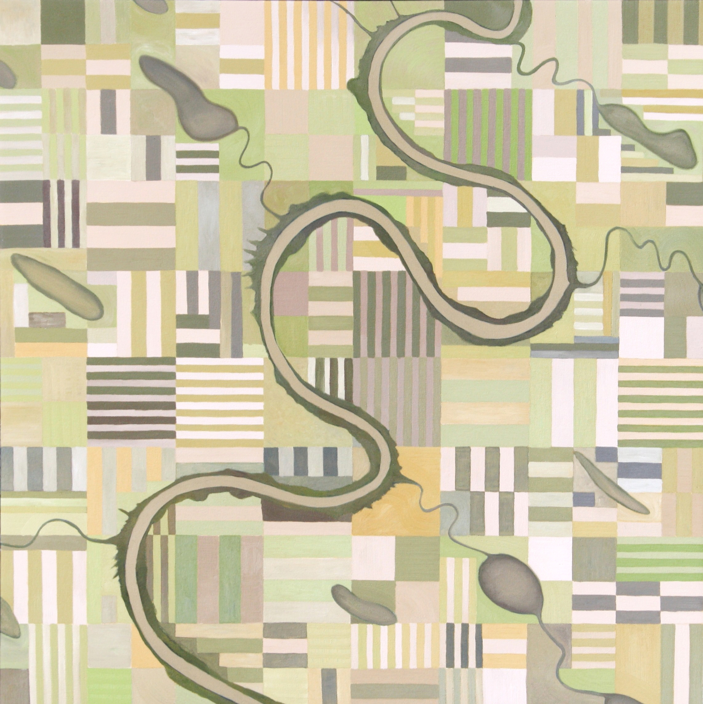
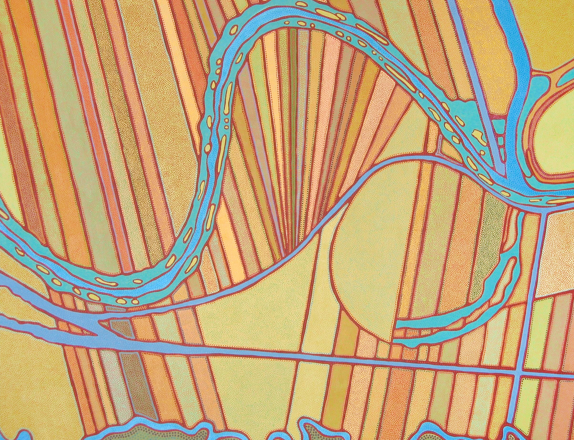
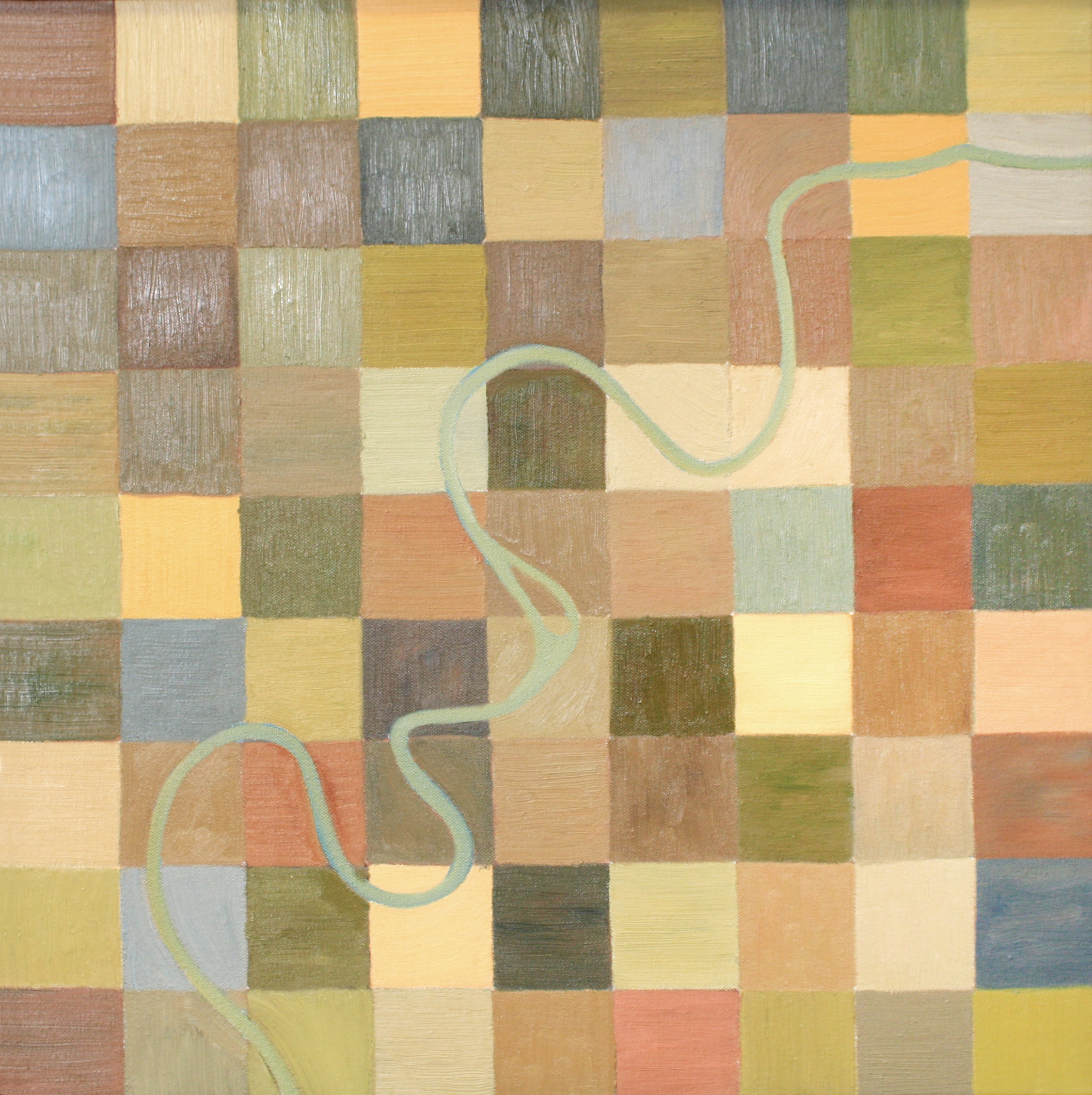
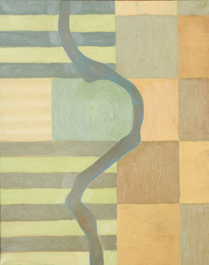
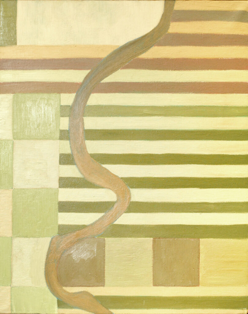
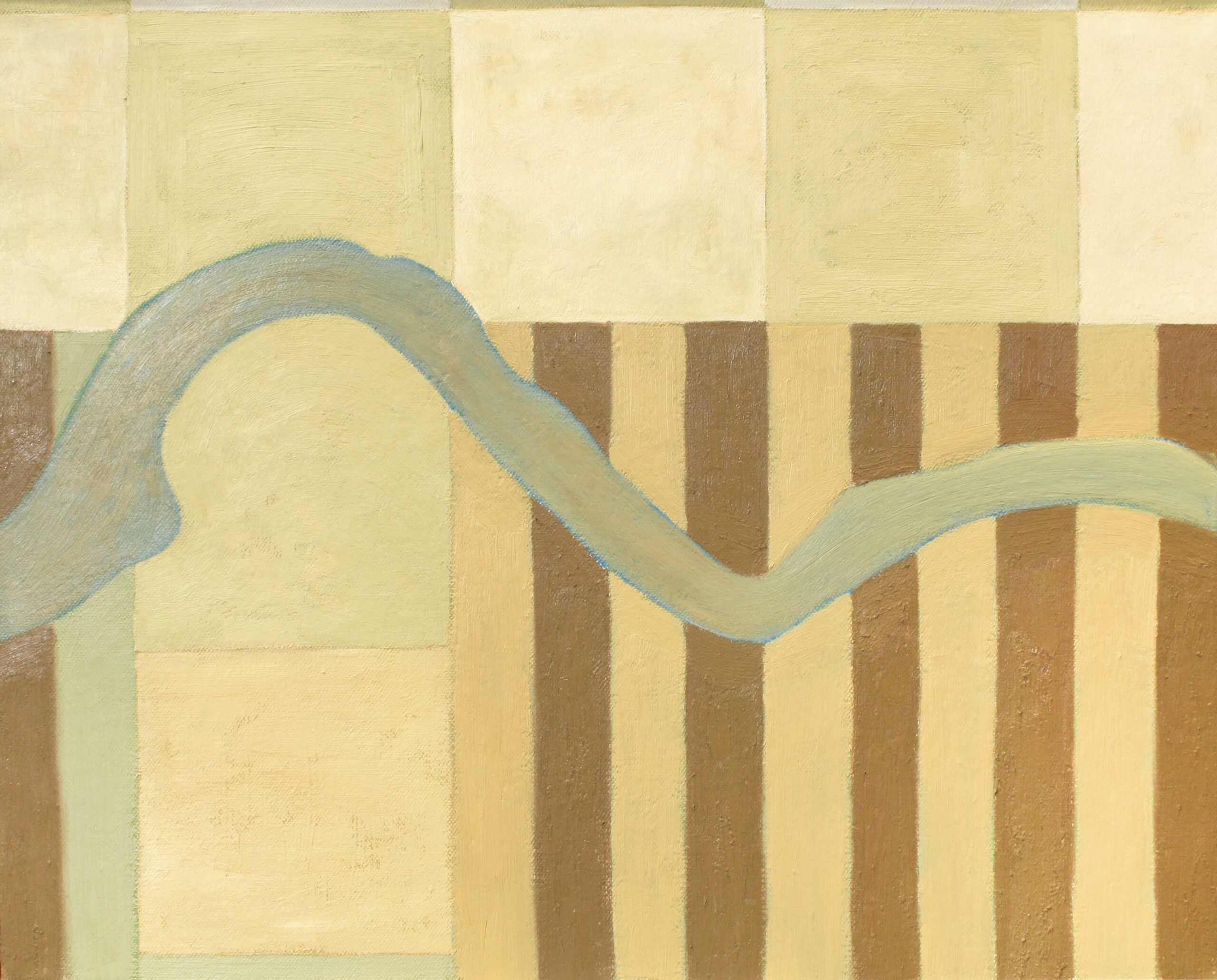
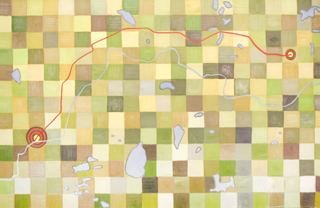
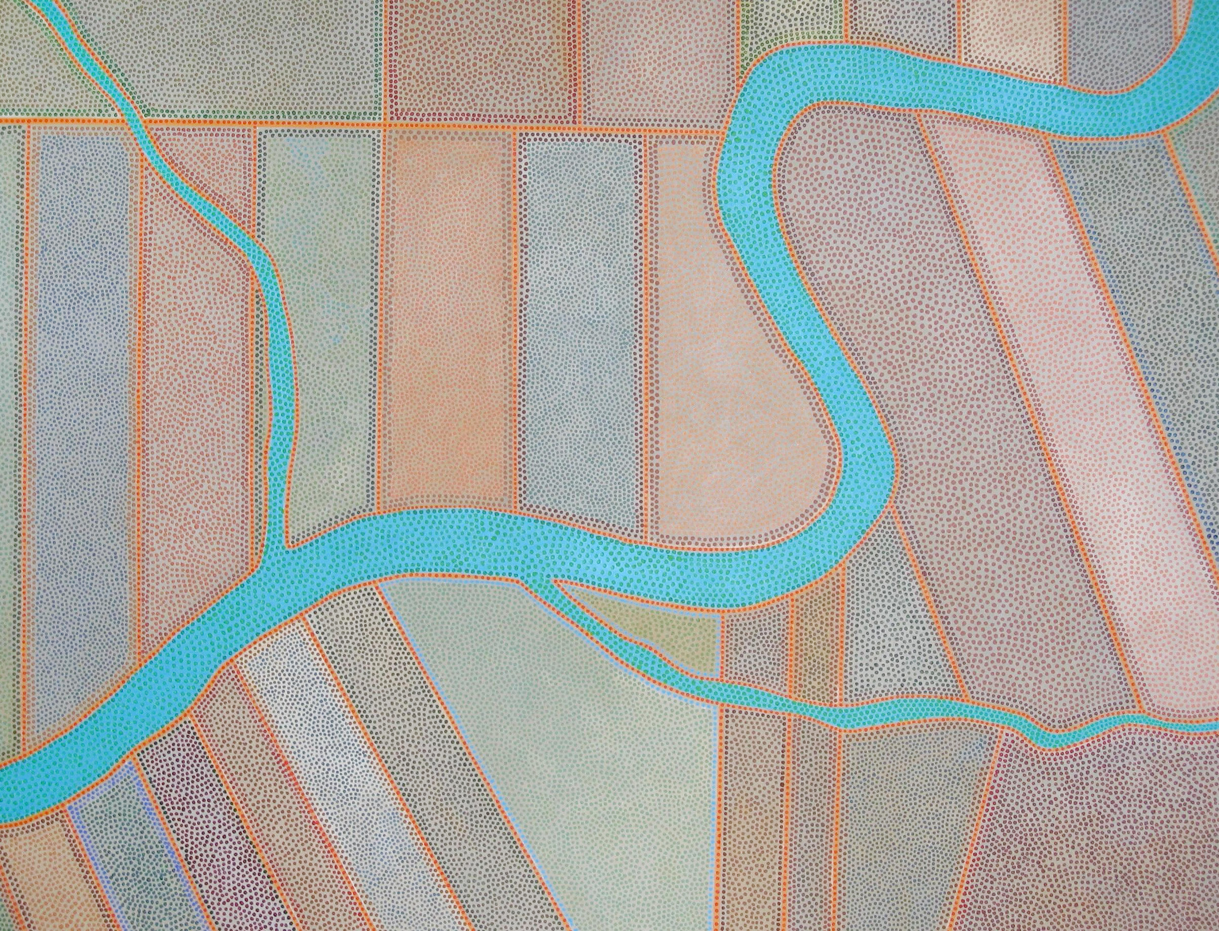
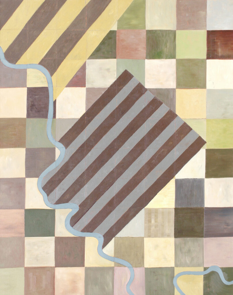
The River Lot paintings are maps of Métis settlement on the Prairies. Following the French style, 19th century Métis settlements were villages with properties arranged in long, narrow strips leading out from the river. That way, neighbours lived close to each other and had equal access to water and pasture. The Red River Resistance and the Batoche Resistance were both fought over, among other things, the imposition of the British/Canadian property grid over the pre-existing French/Métis property system. The grid all but extinguished Métis title. “Conflicting Patterns (Salle River Allotments)” (2012), is based on a map of a Métis settlement on the Salle River, near Red River, and records the moment of the two competing systems. Most Métis settlements and traces of the river lot system have been erased, though the lots are preserved at Batoche. I grew up in Edmonton and my great-great grandfather, Laurent, was one of the city’s first citizens. His property is preserved as the Garneau district and is a river lot! I made the Edmonton map to commemorate the fact that Edmonton, too, was a Métis settlement that followed the French/Métis river lot design.
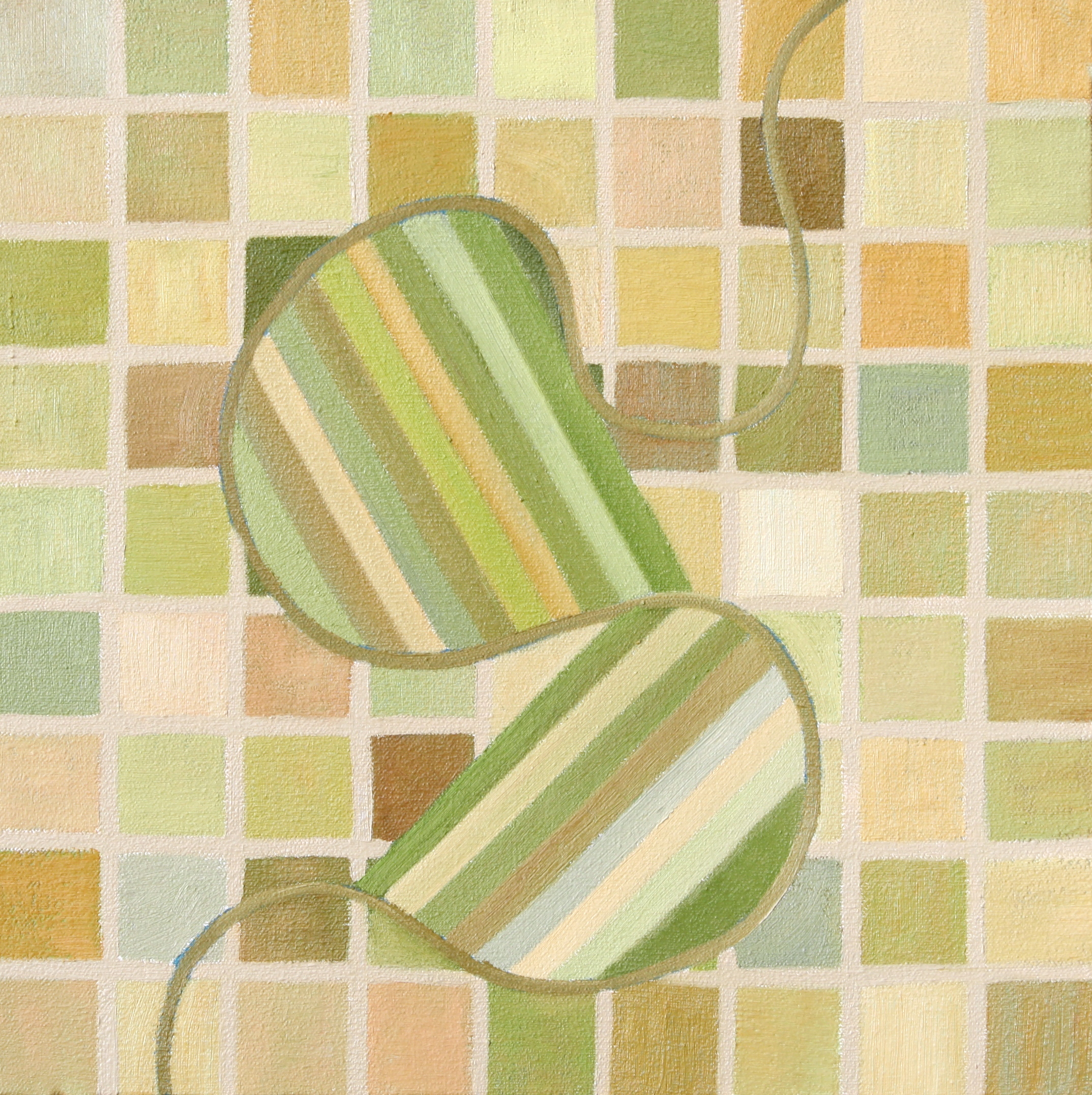
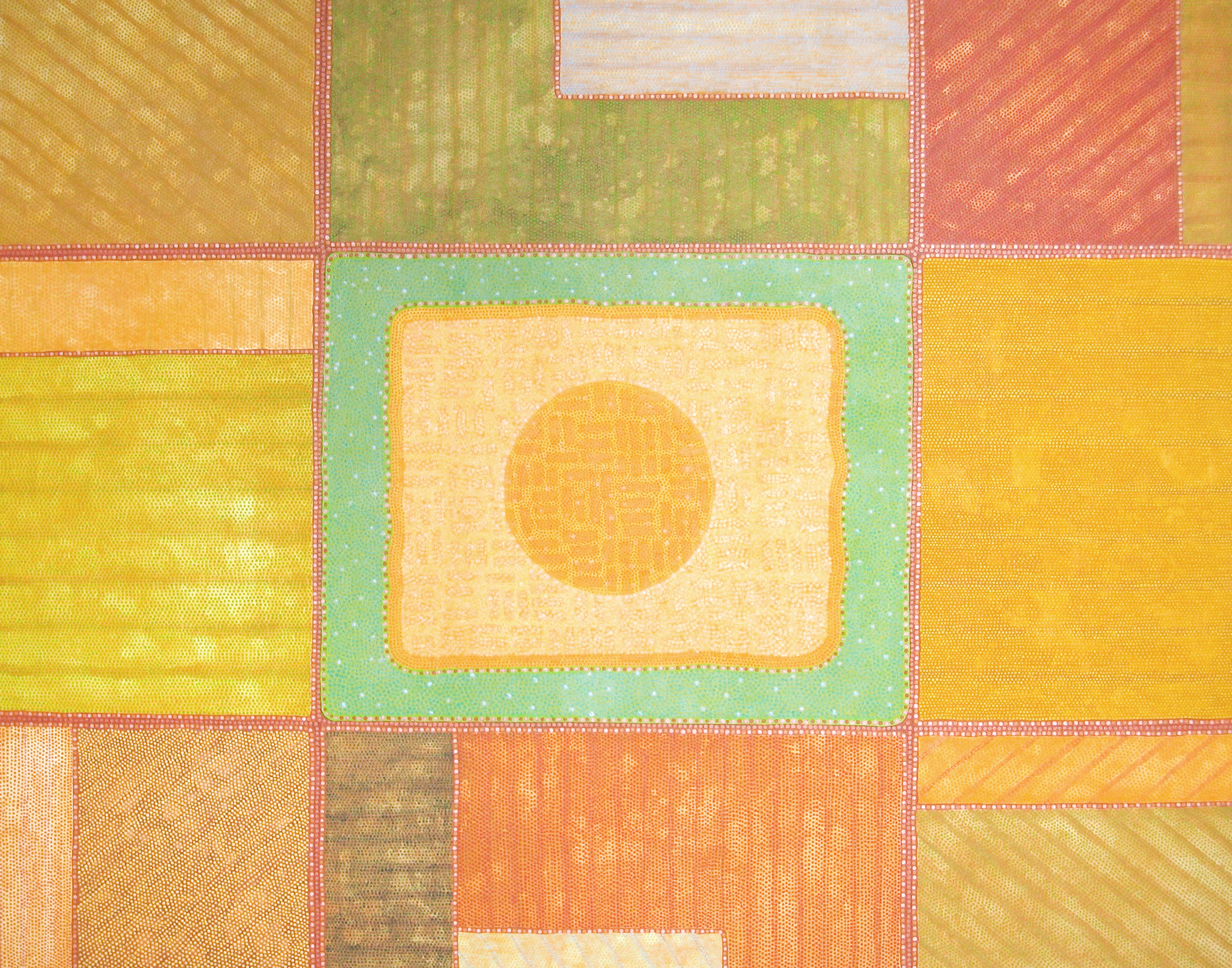
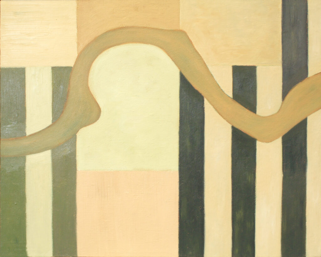
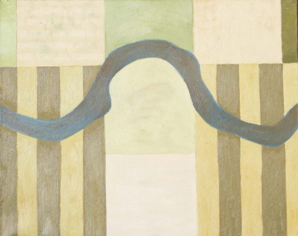
The Batoche maps are seemingly non-objective paintings, but they are maps. I was inspired by Alex Janvier’s abstracted maps. A few of the other maps are not based on actual communities. They show the conflicting patterns of Prairie settlement, not only Métis vs Colonial but also non-Indigenous attempts to own the land (formal geometry) vs Nature (river). The painting I have yet to photograph shows the passages my family took when they left Edmonton for St. Paul des Métis.